測量業務の概要と手順を説明いたします
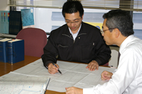

依頼主と面談し、業務の目的について相談します。
依頼土地を下見して現地の状況を把握したうえで、
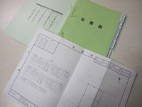
法務局や関係する役所(道路や河川などの公共用地について)の資料を
収集します。

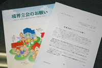

測量範囲に応じて、近隣の土地所有者に測量実施のご挨拶をします。
測量実施のご理解を頂き、境界に関する隣接者のお考えや
過去の測量情報の収集をいたします。

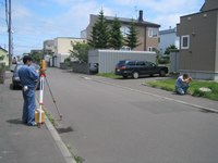

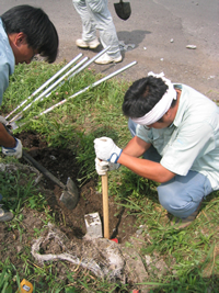
公共の基準点から測量を開始し、
依頼土地が座標付出来るような基準点を設置する測量を実施します。
続けて現地の境界標や塀などの造作物の位置を測定します。

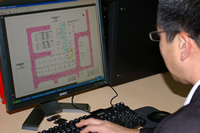

役所の資料やデータと現地測量調査結果を比較考量し、
正しい境界に位置をパソコンで計算して算出いたします。


計算結果を基に「正しい境界の位置」を現地で確認いたします。
既設境界標に相違が無いかを確認し
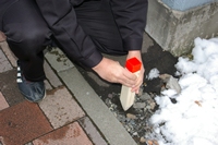
必要な個所に仮の目印(木杭、金属鋲、など)を設置します。

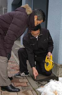

依頼主や隣接の土地所有者にお立会いただき、
測量結果の説明、境界の確認を行い、
境界標設置の承諾をいただきます。